


Koordinātas:
57.758685
22.604676
Skatīt Google kartē
22.604676
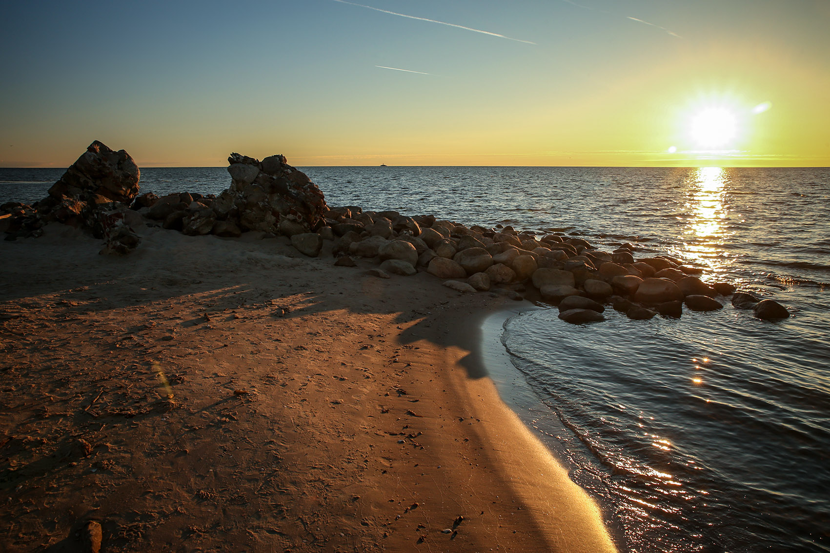
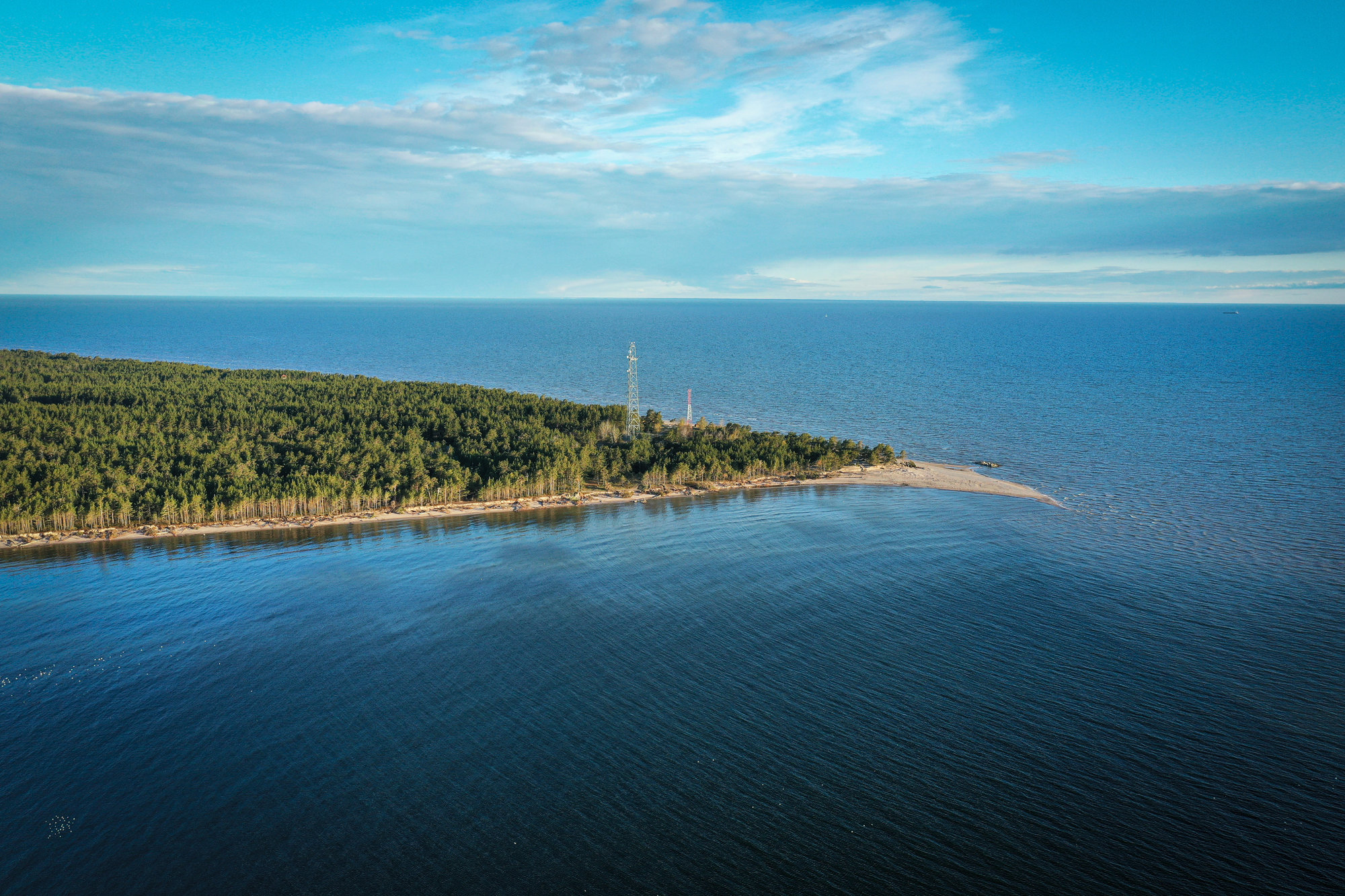
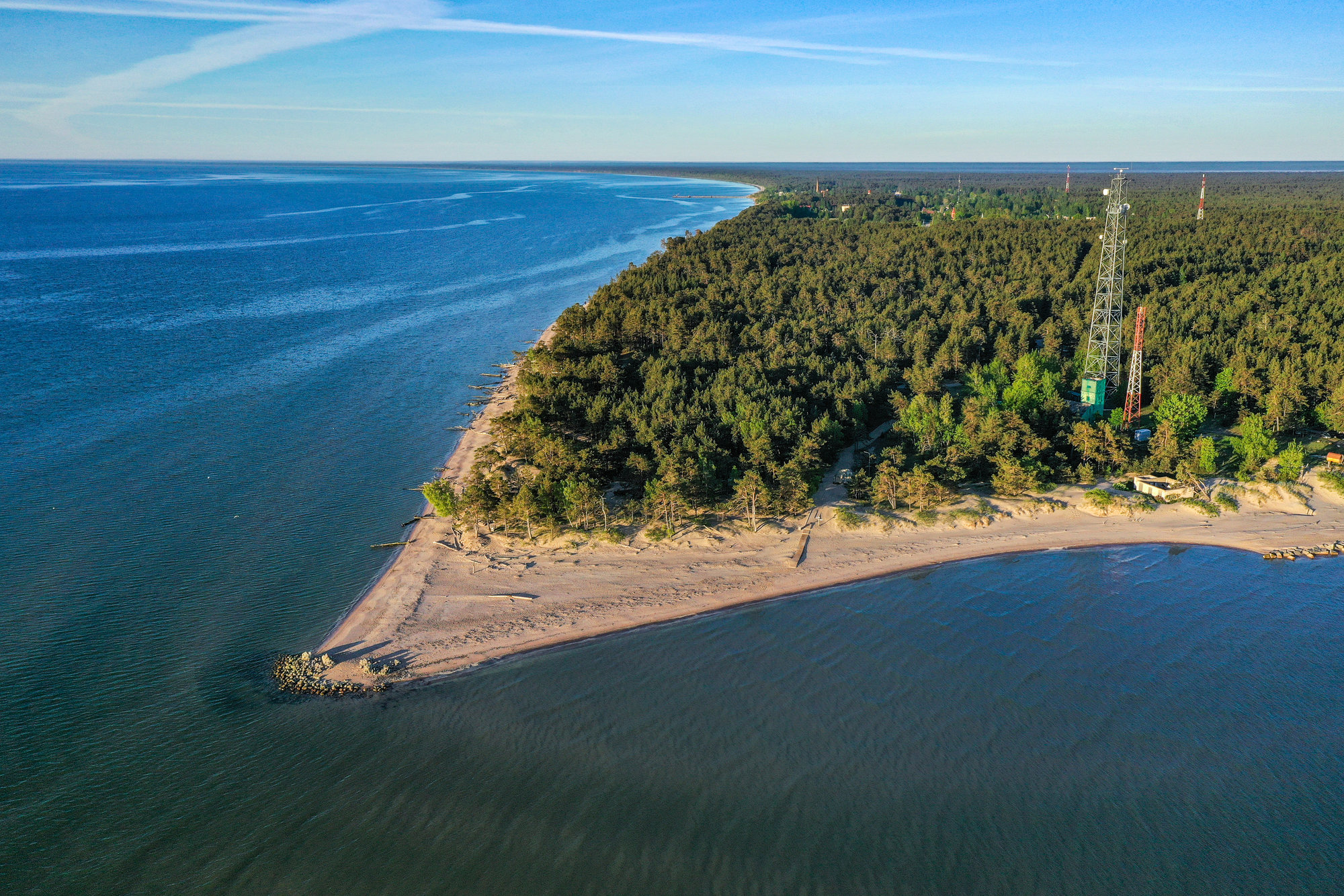
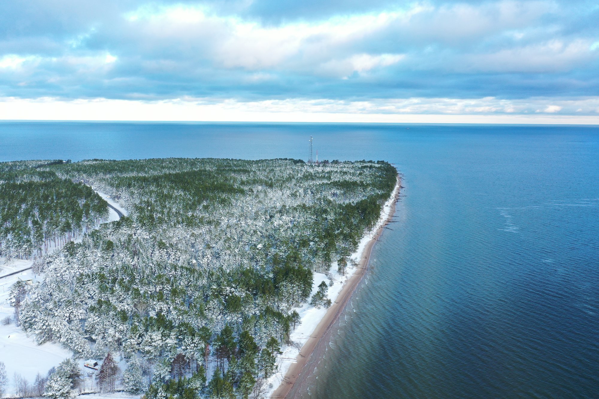
Kolka is the farthest North point of Kurzeme peninsula and Cape Kolka (Kolkasrags) is the most pronounced land horn at the coast line of Latvia. This is the place where the meeting of the waves of two seas, i.e. the Baltic Sea and the Gulf of Riga, or the Big Sea and the Little Sea, can be seen. The horn extends as a shallow under water for 6 km. At the end of the shallow, on an artificial island there is Kolka lighthouse. The sea around Cape Kolka is the place of loss of numerous ships.
The name of Cape Kolka (Domesnes) is first encountered in a text around 1040, inscribed on a runestone in Mervala (Mervalla), Sweden. The inhabited place of Kolka is mentioned in written records for the first time in a document from the year 1387. The designation for Cape Kolka in documents until the end of the 19th century was Domesnes, but the local inhabitants referred to the village as Kolka Cape. In the 20th century, the toponym Kolka has become firmly established, while in Livonian, it is known as Kūolka. In Estonian, it is kolgas, kolk, and in Finnish, kolkka – corner, nook.
There is a unique opportunity to sea both sunrise and sunset in the sea at the same place. During the spring migration this is an important collection and rest point for migrating birds passing by.


|
|
